Important !!
Nous vous informons que pendant les fêtes de fin d'année les expéditions de pièces seront suspendues du 20 décembre 2025 au 4 janvier 2026.
La dernière expédition se fera le 19 décembre. Le site continuera de fonctionner normalement et les commandes reçues seront expédiées à partir du 5 janvier.
Nous vous souhaitons à toutes et à tous de joyeuses fêtes de fin d'année et une très belle année 2026 !!
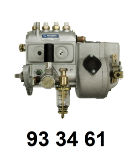
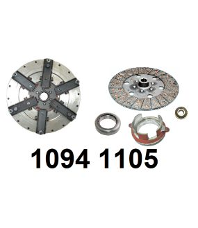
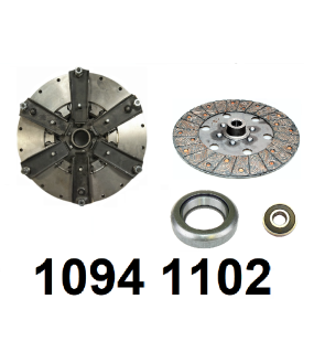
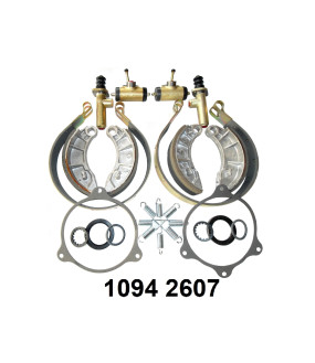
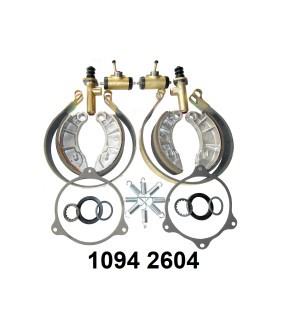
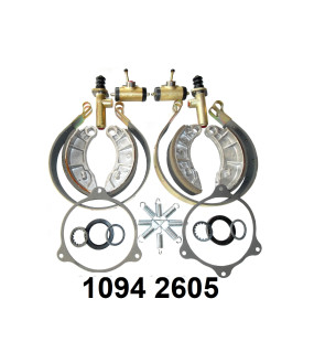
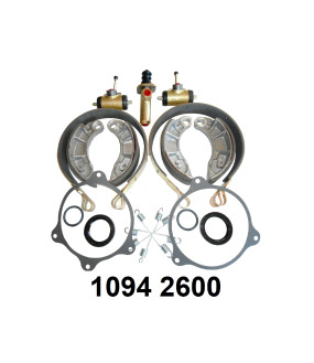
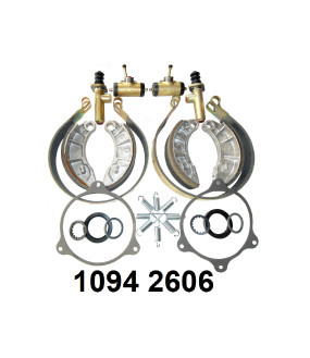
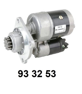
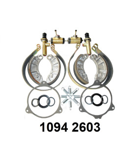
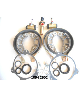
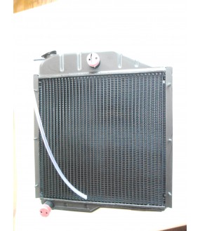
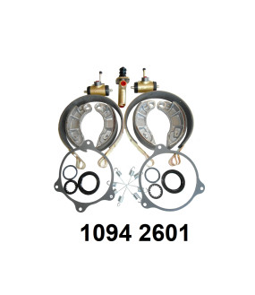
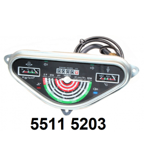
À travers ce site, EDIMA, spécialiste dans la vente de matériel agricole et de pièces détachées de la marque ZETOR, vous propose tous types de pièces de la marque ZETOR, quel que soit le modèle de votre tracteur ZETOR, du maître-cylindre de freins au joint d'échappement.
Nous sommes en mesure de répondre à l'ensemble de vos besoins en pièces détachées de la marque ZETOR et disposons d'un stock très important nous permettant de satisfaire la quasi-totalité de vos demandes.
Pour des demandes plus personnalisées, n'hésitez pas à nous contacter via notre formulaire en ligne ou par téléphone.
Nous distribuons en priorité et presque exclusivement de la pièce d'origine ZETOR, garant d'une fabrication de qualité et du respect du cahier des charges du constructeur.


