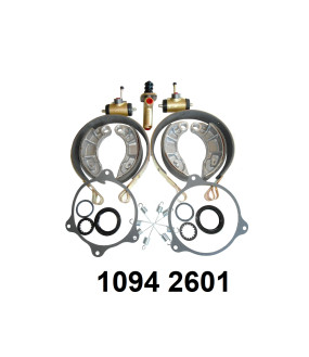
joint d'étanchéité de commande de frein.
-
Prix
13,08 €
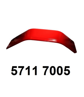
aile avant.
-
Prix
89,68 €
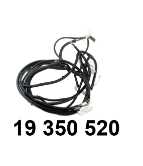
faisceau électrique principal Forterra.
-
Prix
460,62 €
Offres spéciales
-
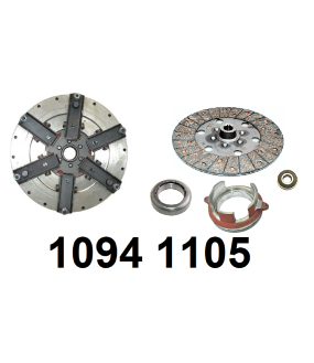
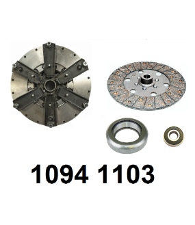
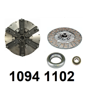
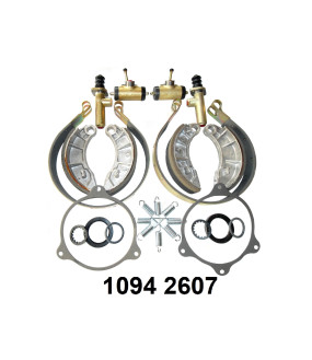
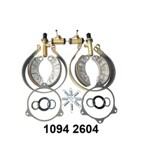
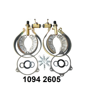
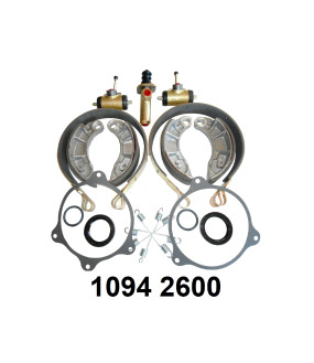
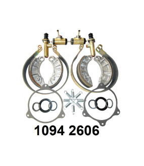
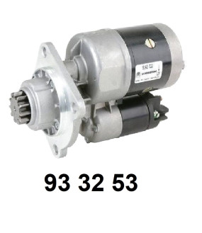
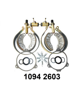
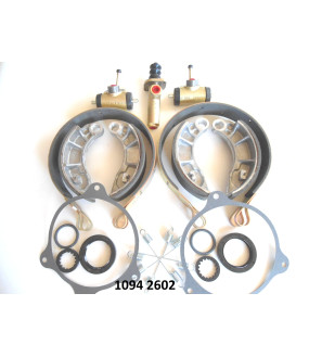
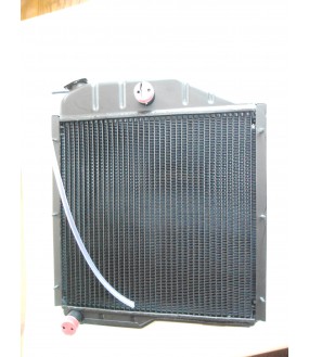
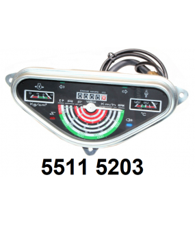
kit d'embrayage.Prix 576,05 € -10% Prix de base 640,06 €kit d'embrayage.Prix 499,60 € -10% Prix de base 555,11 €kit embrayage.Prix 488,03 € -10% Prix de base 542,26 €kit réparation freins (2 cotés).Prix 265,73 € -20% Prix de base 332,16 €kit réparation freins (2 cotés).Prix 258,66 € -20% Prix de base 323,33 €Kit réparation freins (2 cotés).Prix 251,69 € -20% Prix de base 314,62 €kit de freins (2 cotés) .Prix 245,62 € -20% Prix de base 307,02 €kit réparation freins à tambours (2 cotés).Prix 241,82 € -20% Prix de base 302,28 €Démarreur gamme 1 (ORIGINE).Prix 240,00 € Prix de base 288,00 €kit réparation freins (2 cotés).Prix 234,76 € -20% Prix de base 293,45 €kit réparation freins (2 cotés).Prix 223,39 € -20% Prix de base 279,24 €radiateur de refroidissement.Prix 223,38 € -15% Prix de base 262,80 €Kit réparation freins (2 cotés).Prix 223,03 € -20% Prix de base 278,78 €tableau de bord.Prix 75,87 € -10% Prix de base 84,30 €